
Management, analysis, and visualization of geological information in 'RockWorks'






Software for the management, analysis, and visualization of geological information for the environment, geotechnical engineering, mining, and the petroleum industry.
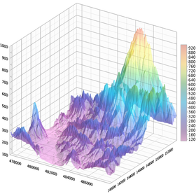
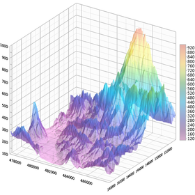
"RockWorks" is a comprehensive software program for creating 2D/3D maps, logs (column diagrams), cross-sections, geological models, volume reports, and general geological maps for the environmental, geotechnical, mining, and petroleum industries.
basic information
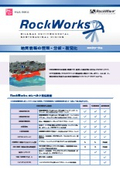
RockWorks has three feature levels. ■Basic Utility programs, Borehole Manager's mapping features, logs, and log sections are available. The playlist can handle up to 5 items, and faults can be managed up to 3. ■Standard In addition to all the tools included in Basic, the modeling features of Borehole Manager (lithology, stratigraphy, geophysics/geochemistry/geotechnics, aquifers, colors, fractures) are available. The playlist can handle up to 5 items, and faults can be managed up to 3. ■Advanced In addition to all the tools included in Standard, support for SQL Server databases, program automation (scripting), and Borehole Manager's oil production maps are available. There is no limit on the number of items that can be handled in the playlist and faults. □New Features□ (Go to the HuLinks page) https://www.hulinks.co.jp/software/rockworks/new/
Price information
(Hulinks page)
Price range
P3
Delivery Time
P3
Model number/Brand name
RockWorks
Applications/Examples of results
□Trial□ Demo version application form (to the Hyulinks page) https://www.hulinks.co.jp/contact/demo-request/?select-software=RockWorks
Detailed information
-
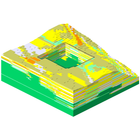
Geotechnical Engineering ------------- We provide graphical analysis tools that are useful for evaluating buildings and excavating land for geotechnical engineering and civil engineering professionals. We create well logs and cross-sections, dozens of different types of maps, structural diagrams, geological/geotechnical/failure/color models, volume reports, and more. At every stage of a project—initial, mid-term, and completion—we save time and costs for both users and clients.
-
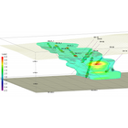
Mining ------------- In both the exploration and production phases of the project, RockWorks' point and contour maps, 2D/3D log displays, projected sections, block model interpolation and editing, detailed volume calculations, and import/export tools are helpful.
-
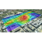
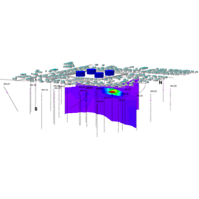
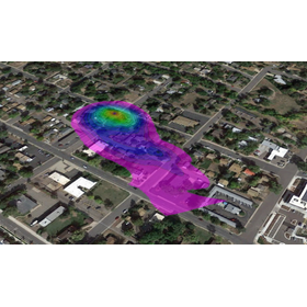
Environment ------------- We support environmental experts from site characterization to the planning and implementation of recovery using tools such as borehole logs, cross-sectional diagrams, concentration maps, plume models, geological models, time-based animations, and geochemical maps.
-
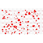
Oil/Gas ------------- We provide tools necessary for the work of petroleum geologists, such as well spotting, maps (bubble, structure, isopatch, land grid, log map), cross-sections, stratigraphic modeling, and reservoir modeling.
catalog(2)
Download All Catalogs
Recommended products
















Distributors

Even in a rapidly changing world, the philosophy of HuLinks has not changed since its founding. The greatness of humanity lies in our ability to think, create, and carve out a new tomorrow. We aim to contribute to society by providing carefully selected solutions that support this remarkable human ability—intellectual creation—while also offering a more comfortable environment and enhancing productivity.