
Land Utilization Simulation Service

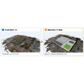
3D measurement is done by our company, while the analysis is done by the customer using a dedicated app! Discover the value of land from actual measurements.
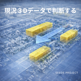
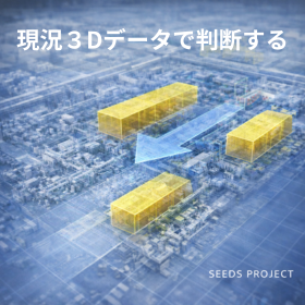
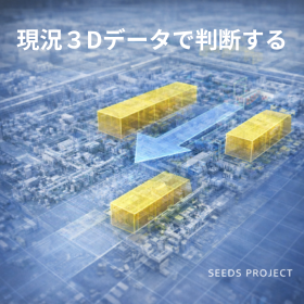
In our "Land Utilization Simulation Service," our staff will visit the site and use a drone and a portable laser scanner to measure the land and buildings comprehensively. We will separate the ground, buildings, and trees, providing data that reveals height and area. Afterward, for those who want to try it themselves, we will provide a dedicated app for that specific land. For those who only want the results, we will listen to what they want to build or compare and conduct the analysis using our app. Please let us know about one piece of land or facility you are interested in. We will measure it and provide the results either through the app or in a report. 【What you can do with this app (partial)】 ■ Measure: 3D measurement of land and facilities ■ Read the terrain: Height, slope, and cross-section at a glance ■ Test before demolishing: Remove buildings and view the site ■ Place: Quickly get the number of units and households ■ Measure soil: Cut soil, fill soil, leftover soil, and dump truck count *For more details, please download the PDF or feel free to contact us.
basic information
【Other Features of This App】 ■Compare: List of drawings and numbers for each proposal ■Create Drawings: Output contour lines, buildings, and proposals in DXF format ■View Shadows: Shadows and sunlight hours for different seasons and times *For more details, please download the PDF or feel free to contact us.
Price range
Delivery Time
Applications/Examples of results
Recommended for the following individuals: ■ Real estate, land development, demolition industry *For more details, please download the PDF or feel free to contact us.*
catalog(1)
Download All Catalogs
Recommended products







Distributors

Our company offers services centered around drones (unmanned aerial vehicles). With many years of experience as professionals in drone operation, we cater to various needs, including construction consulting areas such as bridge inspections and chimney inspections, surveying work, 8K aerial photography, and consulting for the operation and management of in-house drones. Please feel free to contact us if you have any requests.