
@mapper Now Available-- Easy-to-Use 3D Spatial Scanner for Site Measurement and Digital Twins


High-precision 3D scanning just by walking. A field-complete handheld 3D laser scanner that even beginners can handle.
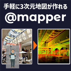
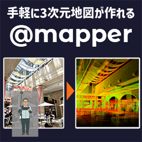
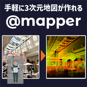
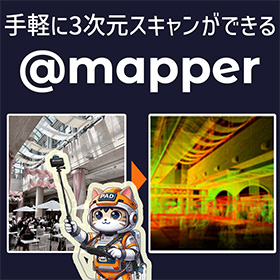
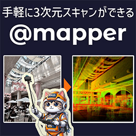
The @mapper is a handheld 3D laser scanner that utilizes the technology developed by PAD in autonomous mobile robot development. By simply holding the device and walking, the user can continuously scan the surrounding environment and generate 3D point cloud data on the spot. 【Main Features】 - Easy operation suitable for beginners - Measures a wide area just by walking - Completes 3D data generation on-site With laser measurement and motion correction using an accelerometer, it achieves scan quality with minimal blur and distortion even while measuring on the move. Additionally, it employs a low-power consumption algorithm to process data in real-time without using a GPU. No post-processing is required after measurement. It can be used both indoors and outdoors, enabling rapid 3D digitization of factories, construction sites, and infrastructure facilities.
basic information
@mapper is a portable 3D measurement device that integrates a laser scanner and an accelerometer. 【Main Specifications】 - Compatible with high-rise buildings (capable of measuring up to approximately 60m) - Real-time 3D data generation - Usable both indoors and outdoors (no GNSS required) It scans the surrounding environment while walking and converts the acquired data into a 3D point cloud on the spot. The generated data can be saved to a USB memory stick. Thanks to its low power consumption design, it can handle long measurement sessions of about 2 hours. Supported formats are E57, PCD, and PLY.
Price range
Delivery Time
Model number/Brand name
@mapper
Applications/Examples of results
@mapper is an optimal 3D scanning device for pre-renovation surveys and current condition assessments of existing facilities and buildings. 【Usage Scenarios】 - Updating drawings through BIM/CAD integration - Creating VR and AR content - Updating layouts of factories and plants - Surveying large buildings and equipment Even in sites without drawings or buildings where the drawings differ from the current conditions, accurate 3D data can be obtained in a short time. Customers who have used the prototype have provided feedback such as: - "Beginner-friendly and easy to use" - "Easier than a tape measure" - "It’s reassuring to know I can measure later." Since the work can be completed on-site, it reduces the hassle of revisits and additional measurements.
Related Videos
catalog(2)
Download All Catalogs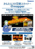
Recommended products

Distributors

We are a design company specializing in the development of devices, systems, and services utilizing in-vehicle software, IoT, and robotics technologies. Leveraging our software development capabilities, we provide comprehensive support from pioneering research and prototype development to mass production. The foundation of our efforts is "realizing the value that our client companies seek." With this commitment, we work together with our clients to create a safe, secure, comfortable, and convenient society.